Rogers Canyon Ruins
Trailhead GPS: N 33 25.324 W 111 10.412
GPS Location of Destination: N 33 27.510 W 111 12.300
Elevation at Trailhead: 4850 ft.
Elevation at Ruins: about 3750 ft.
Elevation Change: 1100 ft.
Nearest Town: Superior, AZ
Length: 3.5 miles each way (7 round trip)
Difficulty (10=hard, 1=easy): 5
Wilderness Area: none
Vehicle: High Clearance required
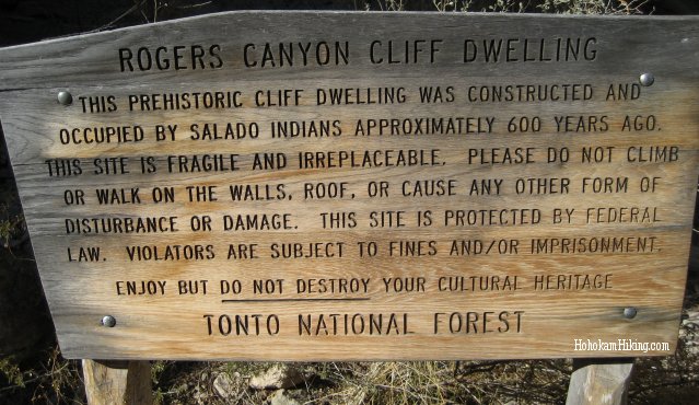
Sign reads: Rogers Canyon Cliff Dwelling. This prehistoric cliff dwelling was constructed and occupied by Salado Indians approximately 600 years ago. This site is fragile and irreplacable. Please do not climb or walk on the walls, roof, or cause any other form of disturbance or damage. This site is protected by federal law. Violators are subject to fines and/or imprisonment. Enjoy but do not destroy your cultural heritage. Tonto National Forest.
Directions to Roger's Canyon
Take the U.S. 60 to Queen Valley Road (from Phoenix, head east until about 2 miles past Florence Junction, then turn left). You'll drive 1.5 miles on Queen Valley Road, then turn right onto unpaved (but well-graded) Forest Road 357. You'll continue on FR 357 for about 3 miles, then turn left onto Forest Road 172, which eventually becomes Forest Road 172A. Forest Road 172 and 172A are quite a bumpy ride up on dirt road. You need high clearance to navigate the road -- there are several holes, rocks, and washes. The road goes through lots of washes, so we recommend not heading up if there's a chance of rain, especially monsoons. Plan on 45 minutes to over an hour just for the dirt road. At the end of Forest Road 172A is a parking lot at Roger's Trough (an old mill), find a shady spot and let the adventure begin.
Note that there are not many people that make this hike, so come adequately prepared with food and water and don't plan on being able to use a cell phone (no service). Also watch out for snakes on the trail. We came across an Arizona Black Rattlesnake the second time we went and we've heard of other reports of rattlesnakes -- it's a long way out if you get bit, so be careful. While there isn't a huge elevation gain during the hike, it is a rough trail.
Getting to Roger's Canyon Indian Ruins
|
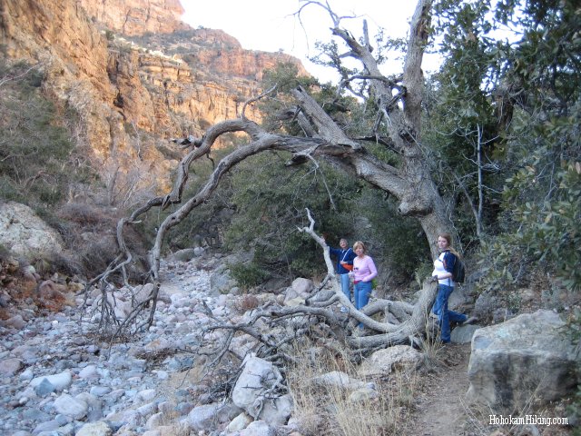
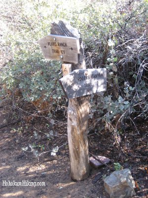
Follow Trail 109 down the canyon. After about 1 1/2 miles you will hit Trail 110 marked by the crossroads sign. This is the trail you will continue down for the remainder of the way. The trail is well-maintained except for a few thorny plants that I call "ankle-grabbers." The second trip I wore pants which is probably the best route to go so your legs don't take a beating. |
|
|
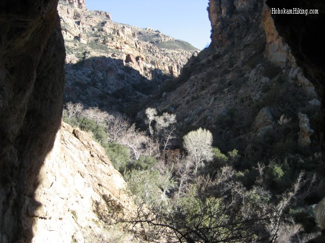
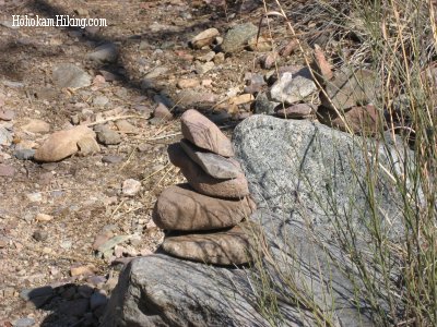
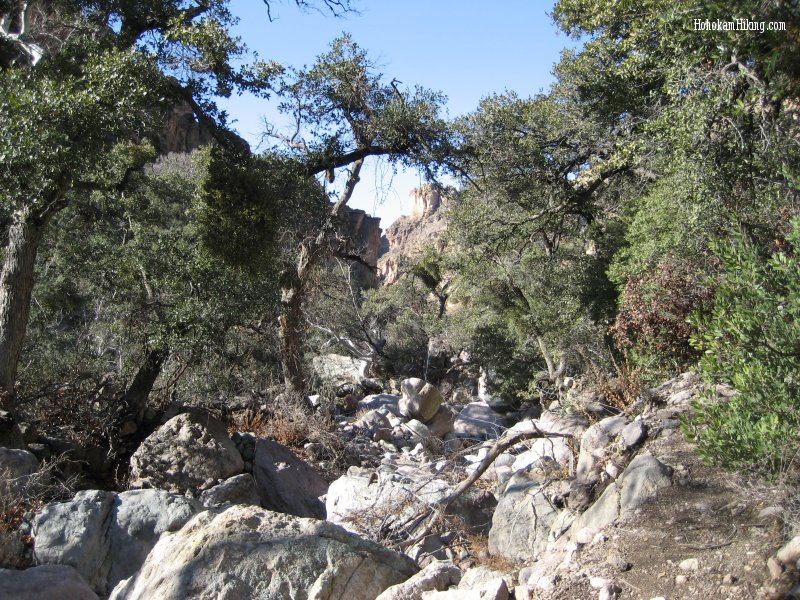
As you hike down into Roger's Canyon, you will cross the riverbed many times. It might be easy to lose the trail so pay attention to the stone cairns that mark the trail (little piles of rocks). Feel free to add cairns, but don't feel free to knock them down! |
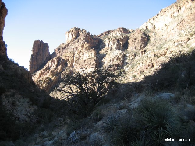
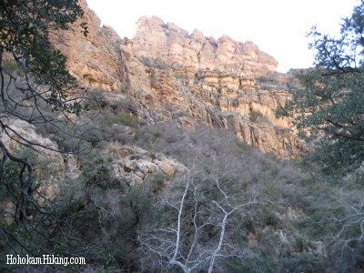
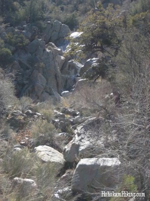
As you walk down the trail, the canyon walls will become more and more rocky. The ruins are in the right side of cliffs and you'll know you are close when the trail veers dramatically left. |
|
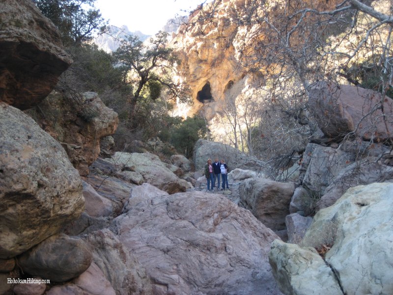
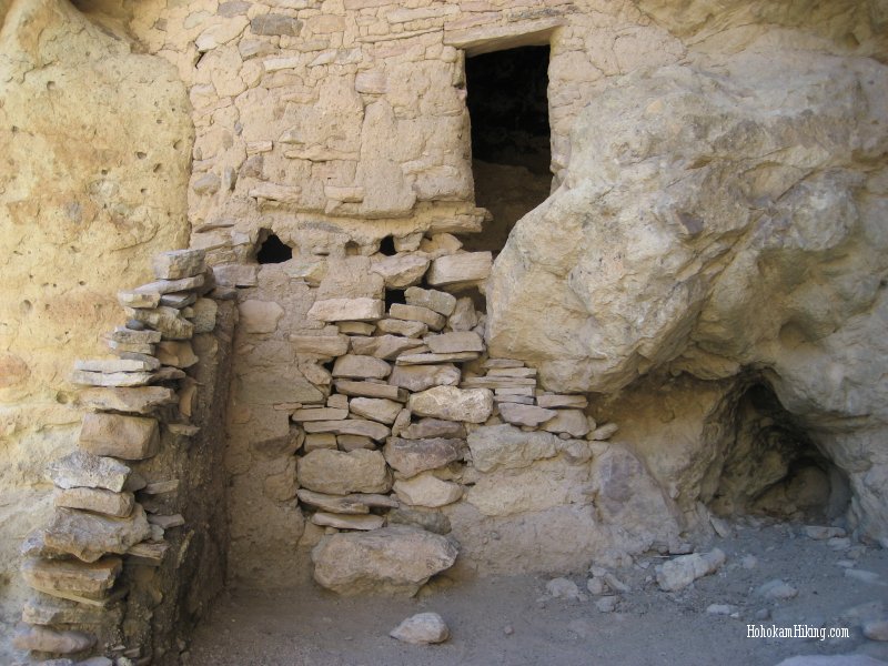
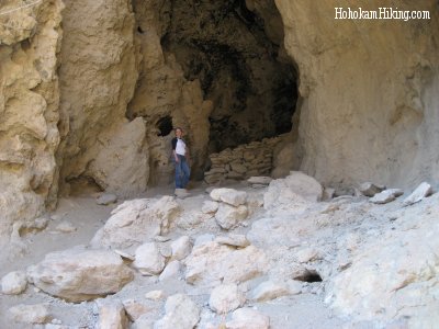
At this point, the Indian ruins should be in front of you. It will be very visible from the trail, you can see it from a couple hundred yards. You will have to head up a short, steep trail on the right in order to access the ruins. |
|
| |
|
|
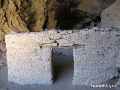
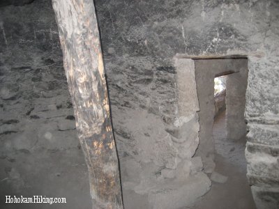
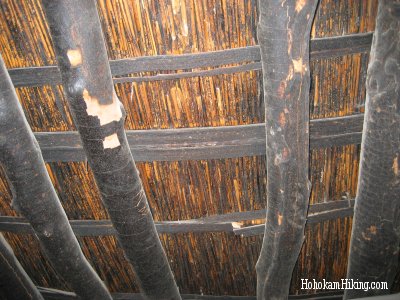
The ruins are located at three levels; be sure you do the extra bit of rock climbing to get to the uppermost chamber. There you'll find a nicely preserved pueblo with a thatched roof. Enjoy the scenery as you look back up the canyon, and make sure you leave enough time for the hike out. | |
|
|
We left far too late in the afternoon for the first trip we took to the Roger's Canyon indian ruins, and we didn't realize how long the 15 mile dirt road would take. By the time we got down into the canyon it was too dark to see where the ruins were located. We thought we were far enough it so we headed up the side of the cliff, unfortunately it was the wrong spot. We never ended up seeing the ruins because we hadn't gone far enough; instead we wandered on the side of the mountain getting scratched and bruised. We found our way back to trail and proceeded to head home - easier said than done. It was late, cold, and the wildlife was abundant--we saw two snakes and two tarantulas. We weren't quite prepared for the whole ordeal and I ended up having a panic attack when the second snake was draped across the trail (we think it was a Glossy Snake but it might have been a rattler; in any case it was very large). By the time we made it back to the car it was past midnight and the bumpy car ride down the mountain was a welcome relief from the elements of the night. |
We headed back to Roger's Canyon for a second attempt about 6 months later, in February, equipped with more food and water and my parents. The trip was a great deal easier as the plants on the trail had lost their thorns from the winter (the plants on the hiking trail were very overgrown and thorny the first time we went). Our legs weren't scratched, we didn't see any snakes, and we found the ruins this time. The trip would have been a walk in the park, although this time I was 7 months pregnant and by the last mile I was ready to be done. The temperature in the canyon had dropped to freezing and our clothing wasn't sufficient to keep out the cold. However, we made it out just as night was setting in; I am grateful we weren't in the dark again. My advice to avoid some of our adventures, dedicate a full day to the trip, go in the springtime, and avoid 7 mile hikes if you are pregnant. The dwelling is definitely worth the trip and we have begun to plan Adventure #3 back to the Roger's Canyon ruins. |
|
